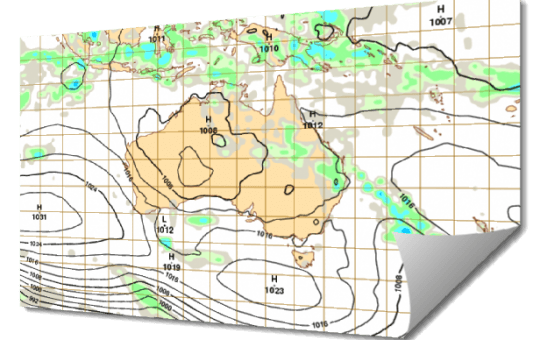
Weather Services The following weather services and pre-flight planning information are available to pilots: Mean sea level analysis and prognosis charts Upper level analysis and prognosis charts; Satellite imagery; Grid point winds and temperatures; Route sector winds and temperatures; Significant weather charts; Domestic TAF, domestic ARFOR; Area QNH; International TAF bulletins; Selected route forecasts for […]
Cruising Levels of Traffic
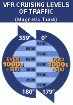
It is important that you know the cruising levels of traffic with respect to how other aircraft operate in airspace. Although you will rarely fly a balloon at a predefined altitude aeroplanes and helicopters do generally operate at predetermined cruising levels based on their category of operation (VFR or IFR) and the direction that they […]
Australian Airspace Classification System

This article describes the Australian Airspace classification system, the services provided to aircraft operating in each airspace class and the associated operating restrictions or requirements for each class.
Recognising a Temperature Inversion
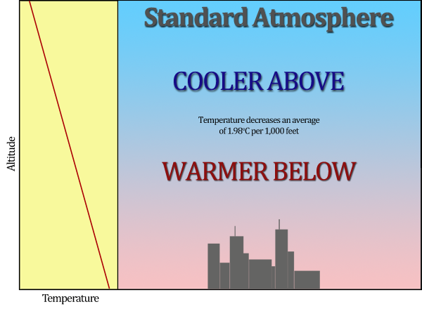
In the troposhere temperature tends to decrease as height increases. In the theoretical International Standard Atmosphere the temperature decrease or ‘lapse rate’ is defined as 1.98oC per 1000 feet gain in altitude. Like most things theoretical this doesn’t always happen in practice.
Pibals
Pibals are small helium filled balloons that balloon pilots use to help assess the winds aloft. By knowing the empty weight of the balloon and its inflated diameter you can use the table below to estimate a pibals ascent rate.